
The first hint that something unusual was coming did not arrive as a blizzard or a screaming wind, but as a quiet line on a chart—a subtle kink in a graph glowing on a meteorologist’s screen in a dimly lit office. Outside, early winter went about its ordinary business: cars easing through slush, breath fogging in the air, the sky a tired shade of gray. But somewhere above that sky, far higher than the reach of any mountain peak, the atmosphere was beginning to strain and twist in ways that seasoned forecasters know can rewire the weather for millions of people. The phrase making its way through briefing rooms and weather forums was at once clinical and ominous: “high risk Arctic breakdown scenario” in early February.
When the Arctic Loses Its Grip
To understand what those words mean, you have to picture the Arctic not as a distant frozen cap at the top of the globe, but as a restless engine of cold, spinning and pulsing far above our heads. High over the North Pole, in the stratosphere, a huge whirl of icy air called the polar vortex normally circles the region like an invisible fence. It is winter’s gatekeeper, corralling truly brutal cold in the far north while the mid-latitudes—where most of us live—get a diluted version of winter, softened by winds and ocean currents.
Most winters, that vortex is a fairly disciplined thing. It spins fast, more or less circular, locking the harshest temperatures into the Arctic night. Jet streams, those swift rivers of air that steer storms across continents, flow around it like a boundary line. But meteorologists are watching something different this year: a slow-motion unravelling, signs that the system might be ready to buckle.
An “Arctic breakdown” is not a single storm or even one particular event. It’s a pattern shift—a moment when that polar fence weakens, wobbles, or splits apart, allowing the deep reservoir of polar air to slosh southward. The early February window is like a pressure point on the calendar, a time when small changes higher up can trigger big, lingering disruptions below. In labs and forecast centers, scientists see the pieces assembling: warming pulses in the upper atmosphere, distortions in the jet stream, and pressure patterns that look eerily similar to those seen before some of the most extreme winter outbreaks in recent memory.
The Sky Above the Weather: A Silent Disturbance
The story begins in a layer of the atmosphere most of us never think about: the stratosphere, 20 to 50 kilometers above the ground. Up there, in the thin air above the clouds, weather doesn’t look like the snowflakes and raindrops we see through the window. Instead, it’s a dance of waves and winds, slow and spectral, rippling around the globe.
From time to time, those waves push upward with unusual strength from the lower atmosphere, often driven by persistent storm tracks, mountain ranges, and large-scale temperature contrasts. When they do, they can punch into the polar vortex like invisible fists, warming the stratosphere dramatically. Meteorologists call these events Sudden Stratospheric Warmings—SSWs for short—and they have an almost mythic status in winter forecasting. A strong SSW can flip the vortex inside out, slowing it, distorting it, or even breaking it into separate lobes that wander south.
In the weeks leading up to early February, models began to hint at just such a disruption. Upper-air charts showed temperatures over the Arctic stratosphere surging by tens of degrees in a matter of days—a wild swing in a region that is usually brutally, consistently cold. It wouldn’t feel like anything at the surface right away; you could walk your dog on a quiet January evening and not know that, halfway to space, the atmosphere was undergoing a dramatic rearrangement. But for meteorologists, it was like watching the opening moves of a complex, high-stakes chess match.
They know from past winters that about one to three weeks after a major stratospheric warming, the effects can trickle down into the weather we live in. The jet stream can buckle; high-pressure “blocks” can set up in unusual places; and the once-contained Arctic air can begin its slow, glacial migration toward cities and farms that are not built for Siberian cold.
Reading the Signs: Models, Uncertainty, and a Rising Risk
Forecast centers around the world feed vast amounts of data into supercomputers: satellite scans, balloon soundings, ocean readings, even the faint tug of gravity measured by specialized instruments. Out of that storm of information, the models produce possible futures—thousands of them, each one a slightly different version of how the atmosphere might evolve.
When meteorologists say there is a “high risk Arctic breakdown scenario” in early February, they are not predicting one precise outcome. They are watching how many of those model futures begin to agree on a particular story: a weakened polar vortex, a meandering jet stream, and an increased probability of harsh cold and disruptive storms moving into lower latitudes. Confidence rises not from drama in a single chart, but from a chorus of runs pointing in the same unsettling direction.
Still, the language stays careful: risk, probability, scenario. The atmosphere is famously chaotic, and small deviations can alter the timing, intensity, or exact target of extreme outbreaks. That doesn’t stop people from wanting simple answers. Will it snow here? Will my city see subzero nights? Will flights be grounded, or power grids strain under the demand of heaters running non-stop?
Meteorologists can’t promise specifics weeks in advance, but they can draw boundaries—a kind of weather mood map. They talk about regions “favored” for colder-than-normal conditions, about storm tracks that tilt toward certain coasts or continents, about the odds of multiple strong snow events versus one big blockbuster. Within those shaded zones on probability maps lie the routines of daily life: commutes, harvest schedules, wildlife migrations, municipal budgets.
| Region | Potential Impact in Early February | Preparedness Focus |
|---|---|---|
| Northern North America | Increased risk of deep cold outbreaks and heavy snow where storms align with Arctic air. | Check heating systems, winterize vehicles, review local emergency alerts. |
| Central & Eastern North America | Higher odds of sharp temperature swings; potential for ice and snow events. | Stock essentials, plan for travel disruptions, protect exposed plumbing. |
| Northern & Western Europe | Elevated chance of colder, blocked patterns with wintry episodes. | Monitor regional forecasts closely, prepare for transport delays. |
| Southern Europe & Mediterranean | Variable; cooler intervals possible but strongly track-dependent. | Be ready for rainfall shifts, cooler snaps, and localized flooding risk. |
| East Asia | Potential for stronger north winds and regional cold surges. | Strengthen cold-weather infrastructure; heed local advisories. |
This is what a high-risk scenario really is: not a guarantee, but a nudge from the future, saying, “Pay attention. The dice are being loaded.”
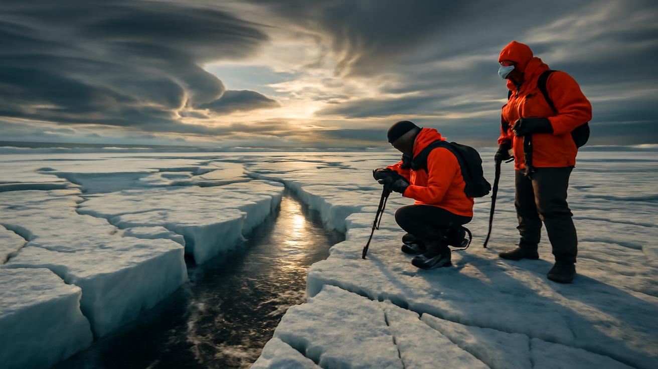
On the Ground: What an Arctic Breakdown Feels Like
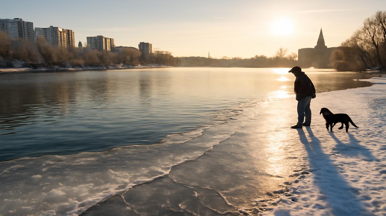
If you live far from the Arctic Circle, it’s easy to think of all this as something abstract, a dance of winds you can only see on a weather map. But if early February delivers on even part of the current warnings, it will not feel abstract at all. It will be the sting inside your lungs when you step outside at dawn, that breath-stealing shock of air that seems to clamp down on your chest. It will be the small hiss from your windows where the cold pries at every imperfect seal, the burrowing instinct that sends pets deeper into blankets.
In cities, the impact arrives as a subtle transformation. The hum of traffic dulls as roads slick over, and the city soundscape becomes muffled by fresh snow and hard frost. Sidewalks narrow into trenches between banks of plowed drifts. People walk differently—shoulders hunched, hands hidden deep in pockets, conversations truncated by the impatience of exposure. You can almost measure the temperature by how quickly people cross streets, how many risk a sprint through the amber of a changing light just to keep moving.
In the countryside, the changes carry a different texture. Fields turn glassy and inert. The skeletal lines of trees are sharpened against a washed-out sky, their bark creaking softly as the sap inside them responds to sudden cold. Farm animals band together in the lee of barns and windbreaks, their breath visible in great slow clouds. Water troughs freeze hard and must be broken, again and again. Even sound changes: on the coldest mornings, a dog’s bark or the crack of a branch seems to travel farther, the air acting like a polished corridor for noise.
Not all the consequences are poetic. Power demand climbs as heaters strain, and old infrastructure groans in protest. Trains can seize, rails becoming brittle in the cold. Planes sit longer on tarmacs as de-icing crews work in gusts of frozen spray. Hospitals quietly prepare for more cases of slips, falls, and frostbite, the hidden injuries of a season that still tests the limits of human routine.
Climate Change in the Background Noise
Layered beneath the immediate drama of a potential Arctic breakdown is a quieter, longer story: the changing Arctic itself. The region is warming faster than almost anywhere else on Earth. Sea ice that once persisted, thick and stubborn, from year to year is thinning, fracturing, retreating. Open water absorbs more sunlight than white ice, amplifying the heat and accelerating the transformation.
Some scientists suspect that this rapid Arctic warming may be altering the behavior of the polar vortex and jet stream, making disruptive breakdowns and wild meanders more likely. The details are still fiercely debated in papers and conferences. The atmosphere is an unruly experiment, and the signal of long-term climate change is tangled with the natural swings of seasons and decades.
But the questions linger. Are we entering an era where winters flip more abruptly—from almost springlike mildness to brutal cold—in a kind of meteorological whiplash? Are cities that invested in heatwave plans now needing to rethink their winter playbooks, too, preparing for more frequent extreme cold snaps as well as warm anomalies?
There is a paradox at the heart of public perception: how can a warming world still deliver such vicious bouts of cold? The answer lies in understanding that climate is the shape of the entire story, while weather is a single chapter. You can have record-breaking global warmth and still get local, short-lived episodes of intense cold made more likely by a fracturing Arctic circulation. A planet’s fever does not erase winter; it scrambles it.
How to Live with a Looming Forecast
So what do you do when you hear that meteorologists are warning about a high risk Arctic breakdown in early February? You cannot change the jet stream or soothe a stressed polar vortex. But you can turn that distant, swirling abstraction into something personal and practical.
It starts with simple awareness. Check forecasts not just for tomorrow, but for the patterns being talked about in the next couple of weeks. Instead of asking, “Will it snow on Saturday?” ask, “Are we entering a colder, stormier phase overall?” That shift in mindset turns you from a passive recipient of weather into an active observer of it.
Next, think about the small vulnerabilities in your own life. Do you have a way to stay warm if your power flickers or fails? Are there neighbors—elderly, isolated, or without transport—who might need help if conditions deteriorate? Could a frozen pipe or a dead car battery cause more havoc than it should, simply because you hadn’t imagined it in time?
Most preparation is boring in the moment and grateful in hindsight: an extra blanket folded in a closet, a flashlight with fresh batteries, a modest stash of food and medication so that missing a grocery run doesn’t feel like a crisis. For many, it will only ever be a precaution. But in a pattern where the atmosphere seems primed for extremes, that kind of quiet readiness is a form of respect—for winter, for the Arctic, for the sprawling, interconnected systems that allow us to live relatively comfortably in such a volatile world.
There is also an emotional readiness. Winter can feel long even in placid years; in disrupted ones, it can feel almost surreal, cycling between soft thaws and razor-edged cold. Giving yourself permission to slow down, to adjust expectations, to step back from nonstop mobility when the weather makes everything harder, is another way of aligning your life with the atmosphere rather than battling it constantly.
Watching February Arrive
As early February approaches, meteorologists will keep updating their assessments, nudging risk levels up or down, translating the grand machinery of the atmosphere into words and numbers that we can act on. New satellite passes will refine temperature maps high over the pole. Weather balloons will rise at dawn from quiet launch pads, vanishing into the blue with instruments that beam back stories from the upper air. Computer models will refresh, redraw, and revise. In that constant churn of data, the outline of our shared near future will sharpen.
You might notice the change not in a headline, but in a feeling: the way the wind shifts when you open the door one evening, a sharper edge to the air, a look to the sky that is both luminous and hard. Or, just as possible, you might find that the much-feared breakdown expresses itself in a quieter way—a few weeks of colder, more conventional winter that never quite escalates into legend.
That tension—between what might happen and what finally does—is where science and lived experience meet. Meteorologists know they are not fortune tellers; they are interpreters of an atmosphere that is always on the move, always a little out of reach. They warn not to frighten, but to offer time: time to prepare, time to think, time to understand that our lives are still shaped by patterns that begin far beyond our sight.
So when you hear about a high risk Arctic breakdown scenario, you can imagine that glow on a screen in a dim office, the quiet intensity of people who have devoted their lives to watching the sky. You can picture the polar vortex, ancient and invisible, feeling the pressure of waves below, deciding whether to hold its shape or spill its cold across the world again. And you can step outside, feel the air against your face, and know that you are walking inside a story that stretches from your front step to the roof of the world.
Frequently Asked Questions
What exactly is an “Arctic breakdown”?
An Arctic breakdown is a period when the usual containment of very cold air near the North Pole weakens or fails. The polar vortex in the stratosphere can slow, distort, or split, and the jet stream becomes more wavy. This allows frigid Arctic air to move much farther south than normal, sometimes triggering severe cold snaps and disruptive winter storms in mid-latitude regions.
Does an Arctic breakdown guarantee extreme cold where I live?
No. A breakdown increases the overall risk of cold outbreaks and wintry conditions across large areas, but the exact locations affected depend on how the jet stream and pressure systems set up. Some regions may experience intense cold and snow, while others see only modest changes or remain relatively mild.
How is this connected to the polar vortex I hear about in the news?
The polar vortex is a large circulation of cold air high above the Arctic in the stratosphere. An Arctic breakdown typically involves a disruption of this vortex, often triggered by Sudden Stratospheric Warming events. When the vortex weakens or splits, it can send pockets of Arctic air southward, sometimes for weeks at a time.
Is climate change making Arctic breakdowns more common?
Scientists are still debating this. The Arctic is warming much faster than the global average, and that may be influencing the behavior of the polar vortex and jet stream. Some studies suggest that a warmer, less icy Arctic could lead to more frequent or persistent disruptions, while others find a weaker connection. What is clear is that climate change is altering the background conditions in which these events unfold.
How can I prepare for a potential Arctic breakdown event?
Stay informed by following reliable local forecasts and updates, especially in the weeks leading into early February. Make sure your home is weather-ready: seal drafts, protect pipes from freezing, and check your heating systems. Keep basic supplies on hand—warm clothing, blankets, non-perishable food, medications, and backup light sources. If you drive, ensure your vehicle is winterized and carry emergency gear. Finally, think about people around you who might need help during severe cold, such as elderly neighbors or those without reliable heating.


Leave a Comment